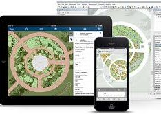
GIS and Drone Services
Our Services
ASM provides innovative, value-added, and increased project efficiency with GIS and drone services for compliance with federal, state, and local laws, statues and regulations. These services assist agencies, engineers, planners, property owners and other professionals in their CEQA, DAHP, NEPA, NHPA, HRS Chapter 6E, and other compliance requirements.
- GIS Consulting
- GIS Needs Assessments
- ArcGIS Online Implementation
- Web GIS & Mapping Applications
- Interactive Web Maps
- Desktop & Mobile Application Development
- Geospatial Data Collection
- Asset Management
- Impact Analysis
- Site Selection
- GIS Modeling & Analysis
- Geodatabase Design & Creation
- Spatial Analysis & Statistics
- GIS Data Management
- Data Visualizations
- Legacy Data Conversion
- Aerial Drone Mapping
- Terrain Modeling & Analysis
- Orthomosaic Mapping
- Cartography
- Remote Sensing
- Exhibit Maps
- Land Use Mapping
- 3D Modeling
Drone Operations
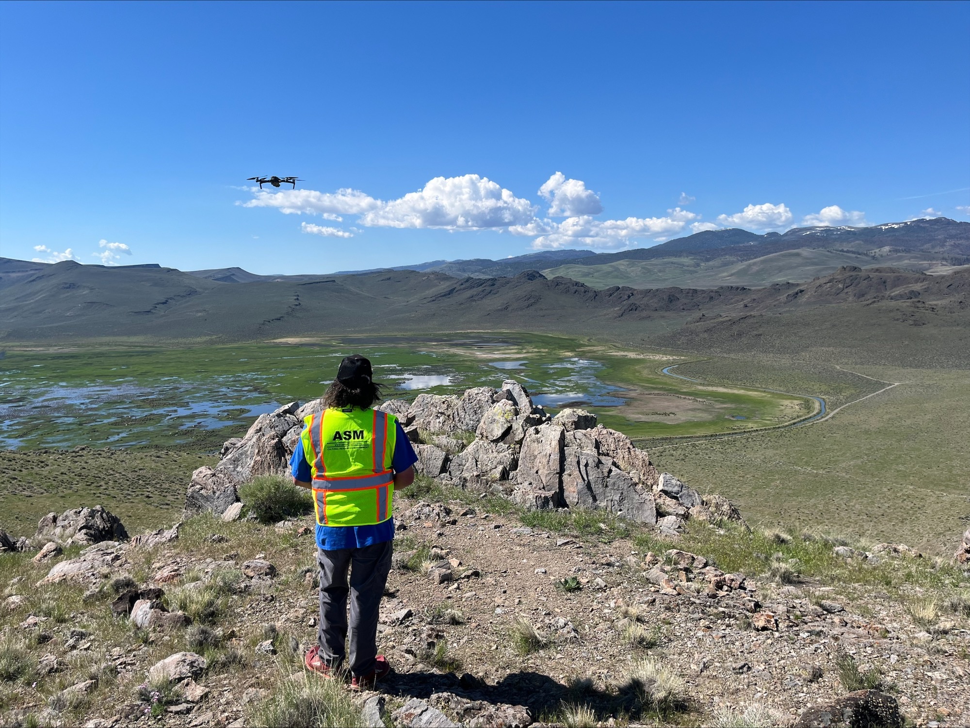
In-house drone specialists ensure project confidentiality, efficient flight planning, and professional products. ASM staffs a team of FAA Part 107 certified pilots and data specialists throughout our service territory allowing for rapid project deployment.
GIS Operations
Our team of certified GIS professionals can design and implement easy-to-use GIS systems allowing for on time, cost-effective, informed decision making on engineering, construction, environmental and planning projects.

Beyond the CRM Industry
ASM also provides GIS and drone services to private and non-cultural resource industries including construction, engineering, and planning. These services are offered in addition to GIS and drone services supporting cultural resources studies.
Capability Highlights
Trusted by clients and agencies, ASM provides advanced GIS & Geospatial services for projects of all sizes.
Drone Imagery & Video
High resolution aerial images and video for project progress and stakeholder deliverables
Remote Sensing
Multidimensional data about buildings, roads, assets, and vegetation to improve asset management
GIS/Geospatial Modeling
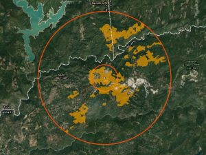
Predictive models simplifying planning and highlighting project impacts before they happen
LiDAR
Point cloud analysis for high resolution planning and resource surveying
Web GIS Services
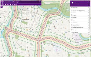
Custom interactive maps for real-time project management and implementation
Construction Monitoring
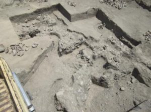
Repeatable aerial surveys for tracking excavations, construction, and utility installation progress
GPS & Data Collection
Survey grade GPS systems and state-of-the-art industry data loggers for any project or terrain
Mobile App Development
Custom data collection and project management from any device or platform
FOLLOW US
Carlsbad | Bakersfield | Pasadena | Sacramento | San Diego | Hilo | Honolulu | Kahului | Reno | Eugene | Portland | Seattle | Stanwood
©️ 2025 ASM Affiliates. 100% Employee-owned. All rights reserved.
ASM Corporate Headquaters | 2701 Loker Ave. W, Suite 145 | Carlsbad, CA 92010

